Precision You Can Hold: The Upcoming Era of “Pole-Free” Surveying
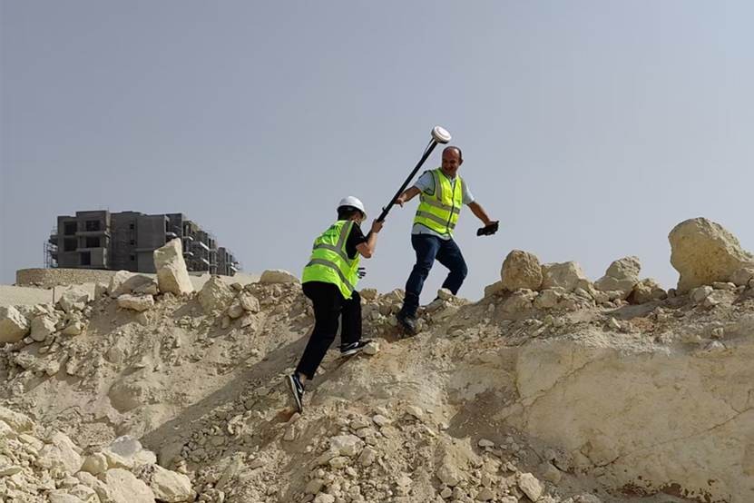
Over the years, the RTK survey pole has been an indispensable companion for surveyors. It carries not only coordinates but also the hardships of traversing mountains and valleys.
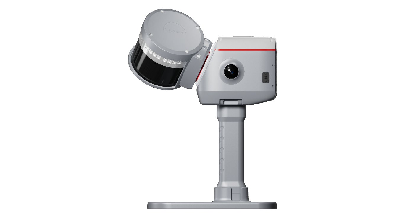
As pioneers of Laser RTK technology, we used a single beam of light to break the conventional constraint that requires the pole tip to touch the ground.
We enabling true remote point measurement when facing deep pits and walls, revealing the infinite possibilities of technological breakthroughs to the industry.
But for us, efficiency and innovation are a journey, not a destination. We continue to listen to the voices from the field, turning real-world pain points into our drive for innovation:
"At pit edges or outside fences, the survey pole is often out of reach or physically inaccessible ...”
"In dense industrial zones, traditional poles pose a risk of contacting sensitive equipment or pipelines..."
"In power line inspections and forestry surveys across rugged terrain, is there a way to further reduce the burden of equipment?"
···
We asked ourselves: can we make the tools smarter, and the surveyor’s work easier?
"Pole-Free" is reshaping the boundaries of surveying:

Our upcoming product is the answer to these questions.
It is more than just a hardware upgrade; it represents a fundamental shift in surveying workflows: Surveyors can now operate it as intuitively as a smartphone: quick access, one-handed operation, and effortless portability. "Measure-as-you-go" is no longer a wish—it’s a reality.
Scenarios that were once "impossible, risky, or difficult to measure" now have an optimal solution.
This isn’t simply about “taking away a pole”; it’s about “adding algorithms” to navigate the complexities of fieldwork. What matters to us isn’t just the device’s specs—it’s the real, every-day moments of surveyors behind those numbers.
To be clear: "Pole-Free" is not meant to replace traditional methods entirely. In large-scale surveys of open terrain, the mechanical stability of a range pole remains irreplaceable.
Our goal is to provide choices—ensuring the right tool matches the right scenario, making every job more efficient and safer.
Coming Soon
Core performance, technical advantages, battery life... all will be revealed on launch day.
We are liberating surveying from the constraints of the traditional pole, and placing precision directly in the hands of every surveyor. Precision You Can Hold
A new way of surveying is coming.
Launch Date: 2026.04.15 11:00AM CEST | Stay Tuned
About ComNav Technology
ComNav Technology develops and manufactures GNSS OEM boards and receivers for high precision positioning demanded applications. Its technology already been used in a wide range of applications such as surveying, construction, machine control, agriculture, intelligent transportation, precise timing, deformation monitoring, unmanned system. With a team dedicated for the GNSS technology, ComNav Technology is trying its best to supply reliable and competitive products to worldwide customers. ComNav Technology has been listed on the Shanghai Stock Exchange (Science and Technology Board), securities :ComNav Technology (Compass Navigation), Stock code: 688592.
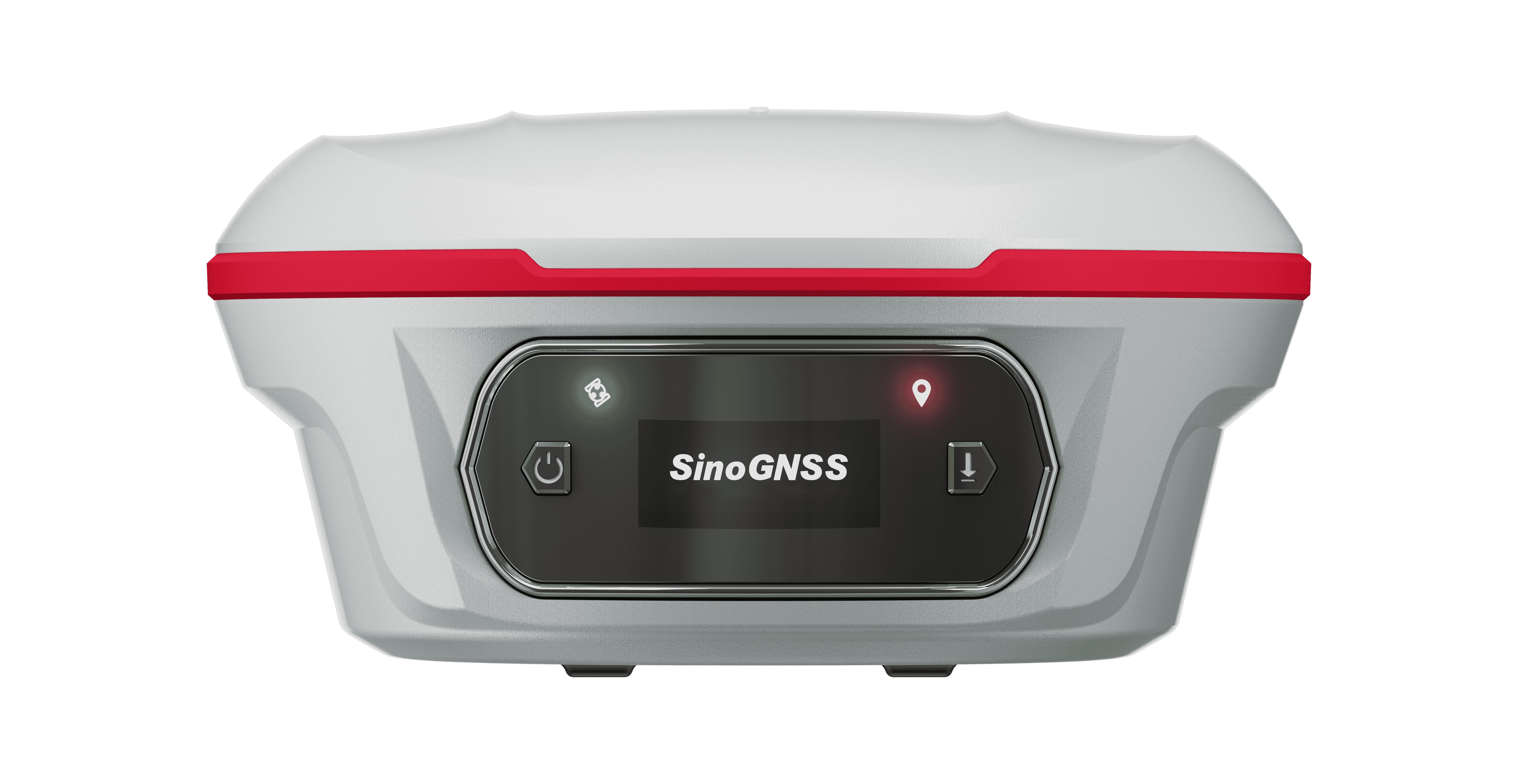
About SinoGNSS®
SinoGNSS® is the official trademark of ComNav Technology Ltd., registered in People's Republic of China, EU, USA and Canada. All other trademarks are the property of their respective owners.
About ComNavTech®
ComNavTech® is the official trademark of ComNav Technology Ltd., registered in People's Republic of China, EU, USA and Canada. All other trademarks are the property of their respective owners.