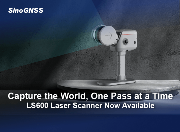

Capture the World, One Pass at a Time —— LS600 Laser Scanner Now Available
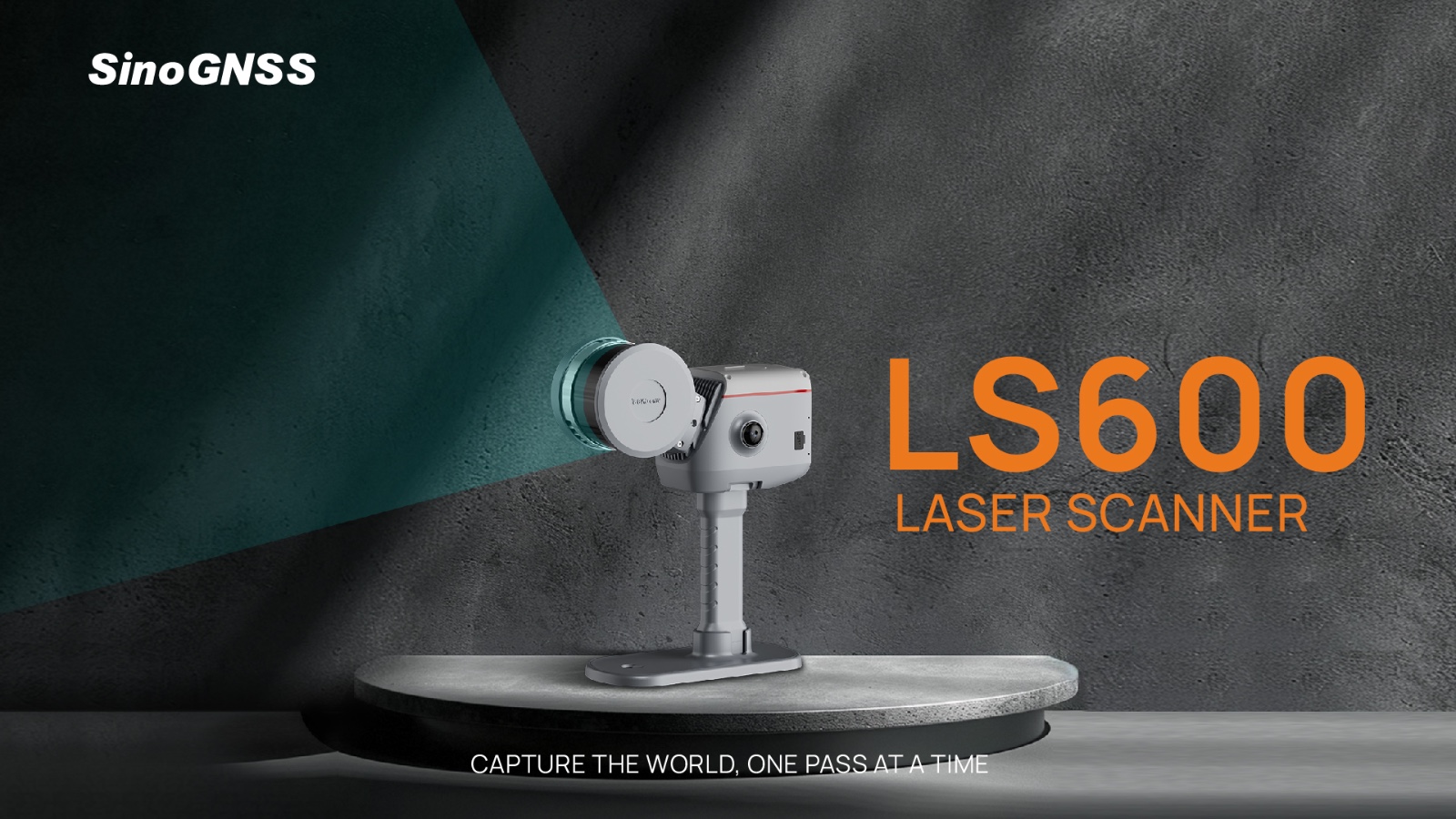
Shanghai, China, June 16, 2025 - The future of 3D laser scanning has arrived. Introducing the SinoGNSS LS600 Laser Scanner, an innovative tool that merges centimeter-level RTK accuracy, advanced SLAM technology, and vivid dual-camera color capture to deliver unparalleled performance—indoors or outdoors. Designed for professionals who demand speed, precision, and versatility, the LS600 transforms complex scanning tasks into seamless workflows.
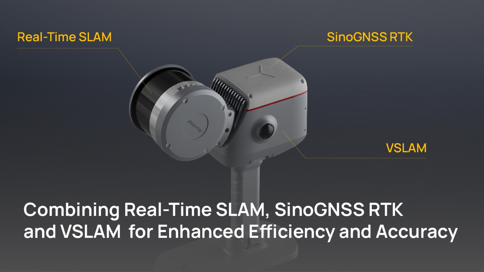
From the hardware perspective, three core technologies converge to deliver peak performance with LS600. Real-Time SLAM minimizes drift for unmatched stability, while Camera-Assisted SLAM ensures enhanced alignment and superior color fidelity. The integrated, history-rich and proven SinoGNSS RTK quickly reacquires signals even in the most challenging environments.
The LS600 features a high-speed LiDAR capable of scanning up to 640,000 points per second, along with an ultra-wide 360°×270° field of view (FOV). It offers three flexible working modes to suit various application needs:
16-line mode: Delivers 320,000 points/s with a 120-meter range.
32-line mode: Deliver 640,000 points/s with a 120-meter range.
32-line mode): Deliver 640,000 points/s with a 300-meter range.
Dual 48-megapixel panoramic cameras deliver vivid, high-resolution imaging. 6DOF IMU plus visual SLAM fusion enhance calibration and ensure stability, even in challenging environments.
It’s also equipped with self-developed high-precision GNSS module and professional surveying antenna, which delivers stronger signal requisition and more stable satellites tracking capability.
High-Performance CPU delivers up to 1.2T computing power, enabling efficient data processing. The SLAM-RTK tightly coupled algorithm ensures real-time fusion and operation, supports continuous data collection for up to 90 minutes. Thus, this also brings out the next advantage of the LS600


Real-time visualization: No Need to Wait for Point Cloud
Why wait for the solving of Point Cloud? With our innovative Flash Point Cloud Technology. While others are still scanning the entire project and waiting for acceptance of the post-processed point cloud data, the LS600 generates and instantly displays highly accurate point cloud data the moment the scanning is complete. Real-time visualization means you can validate data in the field, make adjustments immediately, and deliver results faster - eliminating delays and increasing productivity.
No Loop Closures Needed Scanning
Traditional SLAM workflows often require tedious loop closures. The LS600’s GNSS + SLAM fusion enables continuous, real-time positioning and seamless LiDAR data capture—no loop closures needed.
When RTK fixed, you can experience faster workflows and more accurate results with fewer interruptions, saving up to 30% of your field time—no need for re-scanning, no wasted effort.
How about unfixed circumstance? In some GNSS-barely-denied areas such as basements, mine tunnels, or when there is no network available to receive base station data, making it impossible to be fixed. You can establish several ground control points in the work area. During post-processing, the coordinates of these control points can be imported to perform coordinate transformation, thereby assigning high-precision GNSS coordinates to the point cloud data. In another word, you can still achieve centimeter-level accuracy without traditional loop closure constraints.
Redefine Reality: LS600’s Photorealistic 3D Point Clouds
Powered by an advanced SLAM-RTK tightly coupled algorithm, the LS600 delivers exceptional real-time onboard data quality. When post-processed with ComNav RealEditor — a state-of-the-art 3D data processing platform — it produces industry-leading point clouds with unmatched clarity and detail.
Key Features:
✔ SpectraColor™ Technology – Captures true-to-life colors and ultra-thin layer resolution (<1 cm) for photorealistic 3D reconstructions.
✔ Intelligent Noise Reduction – Ensures cleaner, more reliable data even in complex or dynamic environments.
✔ Precision Edge Definition – Sharp rendering of architectural features, road markings, and fine structural details.
✔Easily import multiple projections, flexibly convert coordinate systems, global coordinates made easy.
✔Humanized interface design for simpler reprocessing.
Seamless Operation & Unmatched Convenience
The LS600 redefines user experience with its true plug-and-play design - achieving immediate operation without the complexity of modular systems. Thus, it enables 90% faster deployment than assembly-required competitors, reduces maintenance costs with fewer failure-prone components, and streamline workflows for quicker project completion. The software is also user-friendly, so there's no need to think of it as a piece of technology - it's easy and fast to get started.
While other home scanner's are still taking bulky backpack style batteries. the LS600's grip built-in battery can be efficiently and easily removed and recharged. It comes with 2 high-density battery sticks as standard, each delivering 1.5-hour non-stop runtime. With LED indicator, you can easily know the real-time power. It also supports fast charging and can get full charged in just 30 minutes. Therefore, it eliminates the downtime. The ergonomic battery compartment ensures effortless installation and removal.
Additionally, it also features advanced connectivity - USB-C 3.2 Gen 2 (400MB/s) for rapid data transfer. Two working modes, handheld or mobile vest, further strengthen its flexibility, enable all-day comfort in any application.

Engineered for High Accuracy and Versatility, Designed for Diverse Applications
The LS600 leverages the tight integration of GNSS and SLAM to deliver position absolute accuracy of 3cm and relative accuracy of 2cm , even in environments with obstructed or interfered GNSS signals. This capability makes the LS600 highly versatile.
Whether it’s construction monitoring and as-built surveying, or forest and vegetation assessment, it significantly boosts efficiency and data accuracy. It also contributes to utility planning and urban renewal projects, supports safer mining operations and bulk material measurement, and enables rapid response during emergencies. Flexible in function, dependable in performance.
LS600 combines GNSS + SLAM, and vibrant true-color point clouds—making your fieldwork smoother and your results sharper.
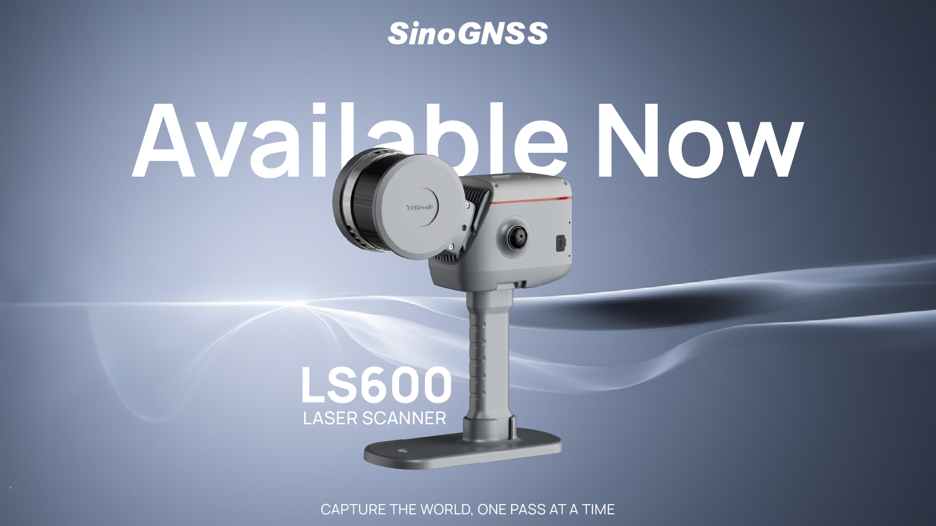
Ready to explore what it can do for you? Explore the LS600 Laser Scanner Today!
About ComNav Technology
ComNav Technology develops and manufactures GNSS OEM boards and receivers for high precision positioning demanded applications. Its technology already been used in a wide range of applications such as surveying, construction, machine control, agriculture, intelligent transportation, precise timing, deformation monitoring, unmanned system. With a team dedicated for the GNSS technology, ComNav Technology is trying its best to supply reliable and competitive products to worldwide customers. ComNav Technology has been listed on the Shanghai Stock Exchange (Science and Technology Board), securities :ComNav Technology (Compass Navigation), Stock code: 688592.
About SinoGNSS®
SinoGNSS® is the official trademark of ComNav Technology Ltd., registered in People's Republic of China, EU, USA and Canada. All other trademarks are the property of their respective owners.
About ComNavTech®
ComNavTech® is the official trademark of ComNav Technology Ltd., registered in People's Republic of China, EU, USA and Canada. All other trademarks are the property of their respective owners.