Unlocking the Potential of Geospatial Technology: ComNav at GeoWorld 2024
Dubai World Trade Centre, November 26-28, 2024 — ComNav Technology Ltd. (ComNav) participated in GeoWorld, an event highlighting the latest advancements in geospatial technology. Over three days, ComNav together with industry leaders gathered to explore the innovations shaping the future of geospatial solutions.
At the event, ComNav showcased its self-developed K8 series high-precision OEM boards. Designed for applications such as UAVs, robotic systems, marine systems, UGVs, portable terminals, deformation monitoring, GIS, and machine control, these compact and powerful boards support full-constellation and multi-frequency technology. They excel in anti-interference, and offer exceptional accuracy in the signal-challenged environments.

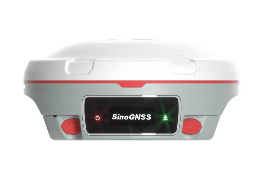
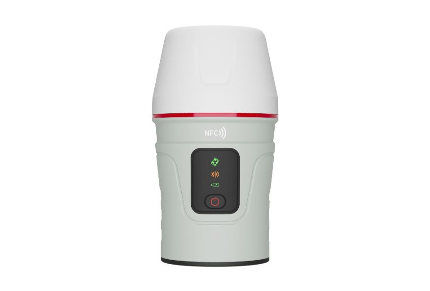
ComNav’s high-precision GNSS receivers are also powered by the K8 Series OEM boards, including the latest Universe Series Laser RTK. These RTKs use precise green laser to measure points in areas where using a range pole is impossible, drawing significant attention from attendees. During the event, ComNav demonstrated the Mars Pro and Venus Laser RTK. The Mars Pro is equipped with a sunlight-readable OLED display that clearly presents essential information such as the number of satellites detected, fixed state, and power, enabling surveyors to manage all operations on-screen. As for the Venus Laser RTK, it features a lightweight, handheld design weighing just 380g, which significantly minimizes operator fatigue. Both RTKs deliver outstanding accuracy and reliability, making them ideal for complex surveying tasks even in challenging environments.

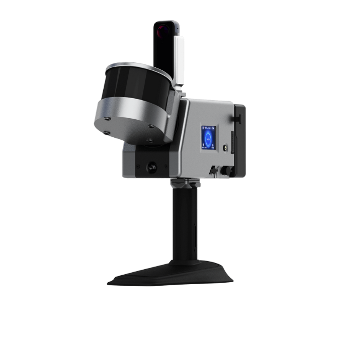
Additionally, ComNav previewed the Jupiter, a high-end GNSS receiver set for official release, sparking considerable interest among attendees. This Jupiter integrates advanced GNSS, IMU, laser, and dual-camera technologies, offering unmatched precision and efficiency. Whether in signal-obstructed environments with heavy interference or complex terrains, the Jupiter can deliver reliable performance and exceptional accuracy, setting a new benchmark for surveying and stakeout solutions.
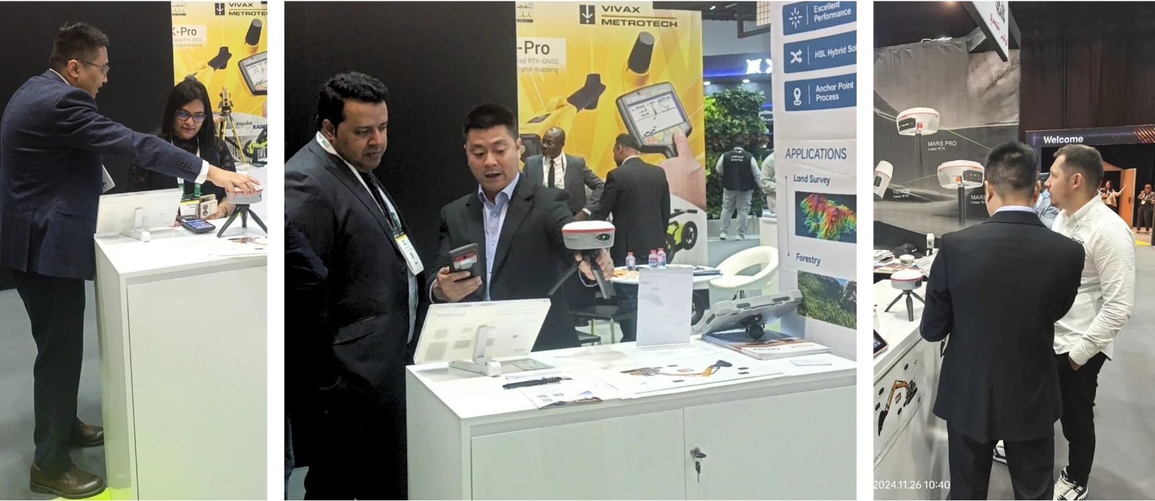
In the live demo session, ComNav presented some successful user cases of Laser RTK technology in Saudi Arabia, illustrating how the technology adapts to diverse environments. In the process, it not only enhanced productivity and precision but also safeguarded surveyors, reducing risks in dangerous locations, serving as a powerful tool for surveying tasks.


The classic ComNav N2 and N3 GNSS receivers remain popular for their durability, offering 20+ hours of continuous operation while maintaining high performance.
In the CORS field, ComNav offers cost-effective solutions that deliver reliable accuracy and ease of use. At the event, ComNav showcased the M300 Pro GNSS Reference Station, specifically designed for CORS station construction. With full-constellation tracking, the M300 Pro provides a robust and future-proof GNSS solution. Through ComNav’s CORS solution, it ensures accurate, reliable data for surveying, construction, and more.

Besides, the XE100 Guidance System for excavators attracted inquiries from industry professionals. Developed by ComNav, the XE100 uses high-precision GNSS technology and inertial sensors to provide precise guidance for tasks like leveling, slope cutting, and digging. This system eliminates the needs for manual staking, thereby improving efficiency, minimizing rework, and ensuring centimeter-level accuracy, ultimately contributing to improved productivity and quality in excavation work..
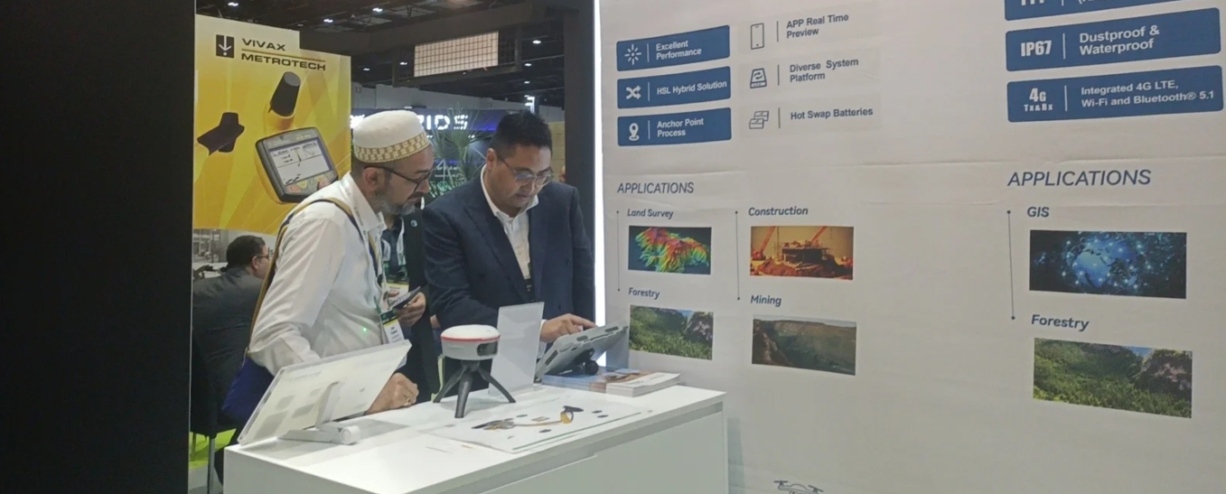
ComNav also showcased the P6H, a handheld GNSS device designed specifically for GIS professionals. Delivering centimeter-level RTK accuracy, it ensures highly reliable data for GIS and surveying tasks, even in challenging conditions. Its rugged design guarantees durability in harsh environments, while its portability enhances ease of use in the field. With Android 11 OS and powerful processing capabilities, the P6H stands out as a versatile and efficient tool for various work scenarios.

In addition, the LS300 3D laser scanner, powered by SLAM technology, impressed attendees with its real-time positioning and mapping capabilities. Offering precise 1cm relative accuracy, it provides seamless indoor and outdoor solutions, significantly enhancing efficiency and user experience in complex surveying tasks.
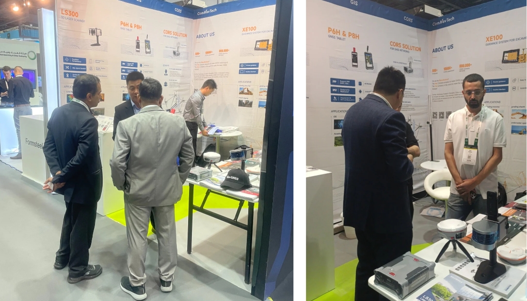
By showcasing the cutting-edge GNSS technologies, ComNav aims to offer efficient, reliable solutions that meet the evolving needs of industries such as land surveying, GIS, and construction, driving regional business growth and innovation. Furthermore, ComNav seeks to foster meaningful connections and collaborations with potential clients, continuously pushing forward to explore and create solutions that advance the future of geospatial technology.
About ComNav Technology
ComNav Technology develops and manufactures GNSS OEM boards and receivers for high precision positioning demanded applications. Its technology already been used in a wide range of applications such as surveying, construction, machine control, agriculture, intelligent transportation, precise timing, deformation monitoring, unmanned system. With a team dedicated for the GNSS technology, ComNav Technology is trying its best to supply reliable and competitive products to worldwide customers. ComNav Technology has been listed on the Shanghai Stock Exchange (Science and Technology Board), securities :ComNav Technology (Compass Navigation), Stock code: 688592.
About SinoGNSS®
SinoGNSS® is the official trademark of ComNav Technology Ltd., registered in People's Republic of China, EU, USA and Canada. All other trademarks are the property of their respective owners.
About ComNavTech®
ComNavTech® is the official trademark of ComNav Technology Ltd., registered in People's Republic of China, EU, USA and Canada. All other trademarks are the property of their respective owners.


