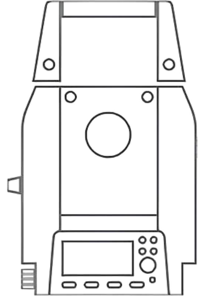
Land Surveying
The position and coordinates of objects have always been of great importance in society, playing a fundamental role. Professional, reliable, and accurate instruments and solutions are essential in geodetic surveys, land surveys, topographic surveys, city surveys, pipeline and route surveys, and civil engineering.
From GNSS receivers to handheld GNSS devices and optical instruments, ComNav Technology develops and delivers scalable products and solutions to make land surveying more productive.
Mapping and Geospatial
ComNav offers a variety of solutions for Mapping and Geospatial solutions, including tablets, UAV, and 3D laser scanner, aiming to make work more precise and efficient.
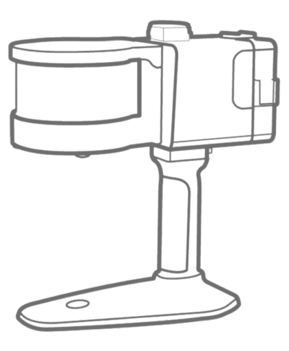
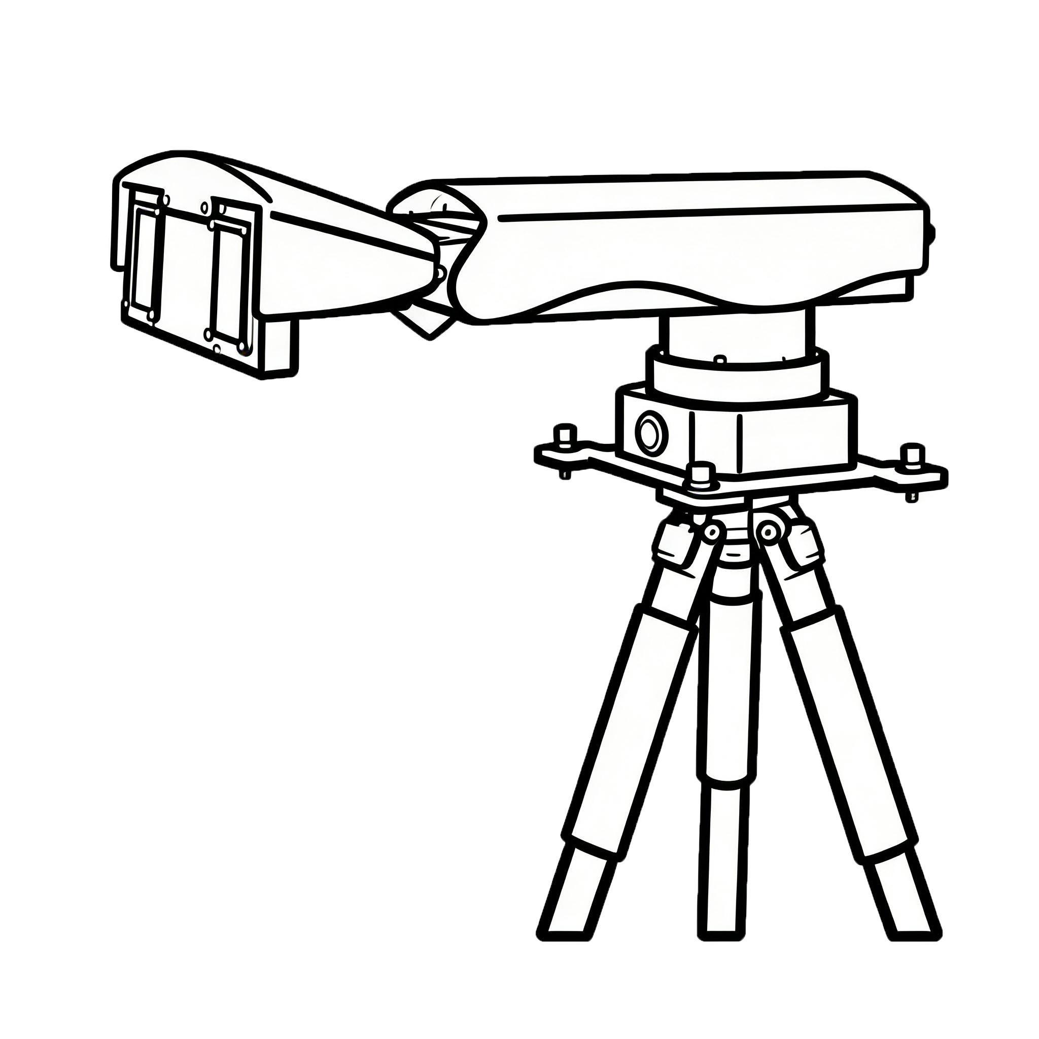
PNT Infrastructure
A Continuously Operating Reference Station (CORS) network consists of multiple base stations that are positioned to cover a larger geographic area. Stations work together to generate accurate, reliable corrected observation data. This data serves multiple rover receivers, offering an efficient solution for applications that require access to RTK corrections over large areas or for multiple users. GNSS reference networks provide a scalable solution for larger areas or multiple users.
Integrated Solution
ComNav's integrated solution combines advanced OEM boards and high-performance antennas, integrating multiple technologies to optimize performance and reliability across various applications, ensuring maximum efficiency in diverse environments.
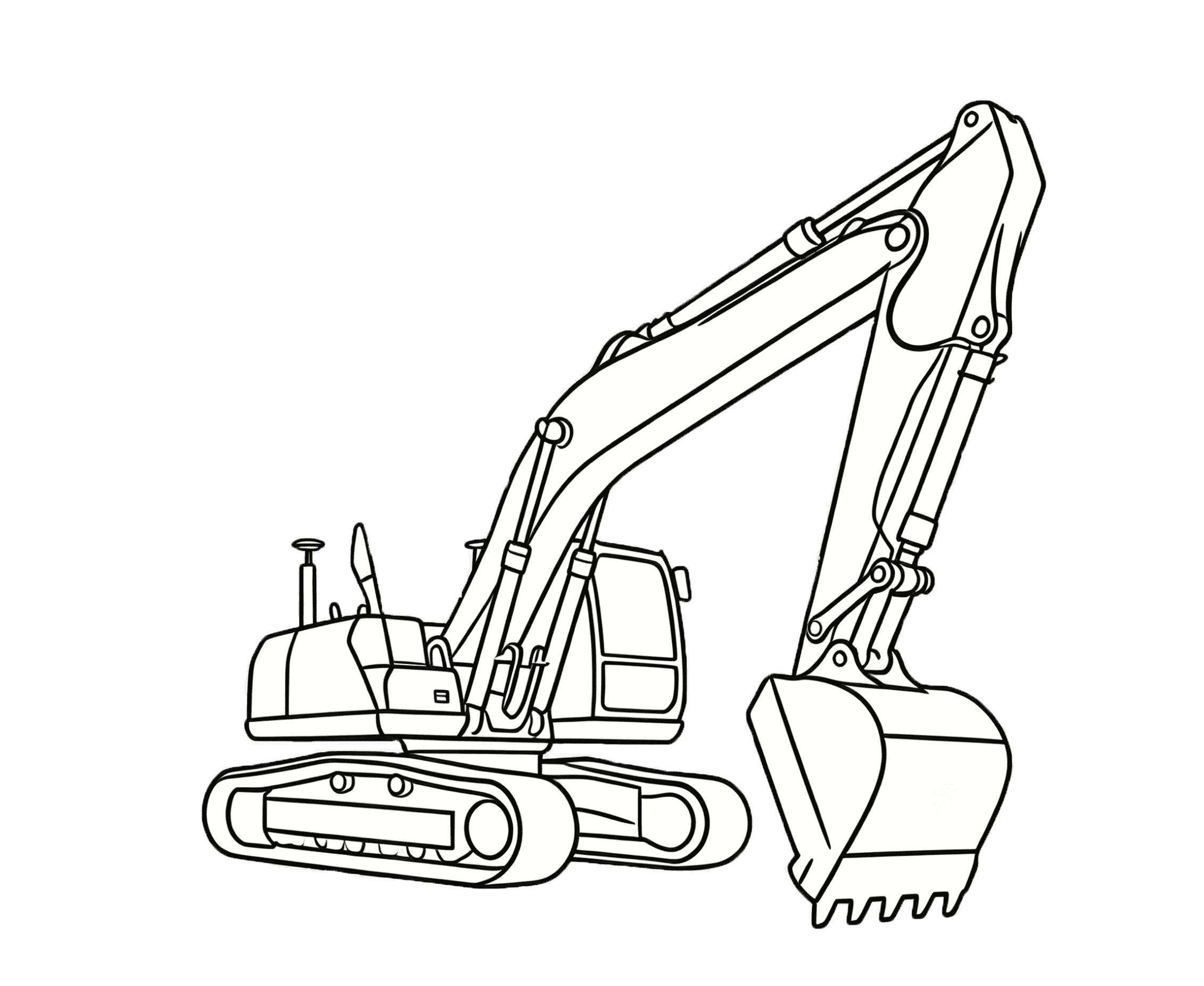
Digital Construction
ComNav's GNSS Digital Construction solution integrates high precision, ensuring efficient management of construction equipment and personnel. Its advantages include improved construction efficiency, reduced human errors, and enhanced overall site safety.
Precision Agriculture
ComNav make farming more precise and easier. With higher precision, customers are able to use their resources more wisely while producing a safer, higher and more reliable yield in a profitable and environmentally sustainable manner.
Monitoring
The GNSS-based monitoring solution is extensively utilized in various fields, including landslide geological hazard monitoring, dam deformation monitoring, mining area surface subsidence monitoring, tailings reservoir deformation monitoring, bridge deformation monitoring, and high-rise building deformation monitoring, as well as other areas with potential safety hazards.
People Location
ComNav Technology Ltd. offers high-precision people location solutions, ensuring reliable tracking and management of personnel in various applications, enhancing safety and efficiency.