Introduction

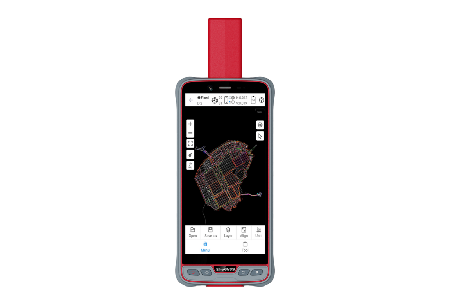
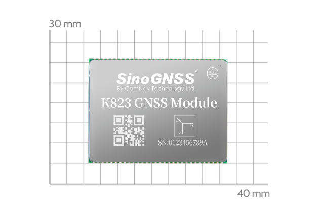
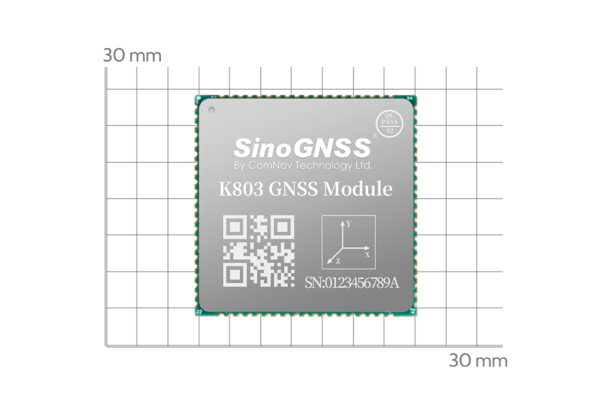
The P6H Handheld is an advanced, rugged device tailored for Geographic Information System (GIS). Equipped with SinoGNSS self-developed high precision K8 board and antenna, it tracks all running and planned constellations, including GPS, BDS, GLONASS, GALILEO, QZSS, IRNSS and SBAS. Its accuracy remains at centimeter or decimeter level. Its portability and durability make it reliable even in harsh conditions.
Features
-
 6”Sunlight Readable Screen
 -
 Android™ 11
 -
 IP67 Dustproof and Waterproof
 -
 Integrated High Precision GNSS Module and Antenna
 -
 Integrated 4G LTE, WIFI and Bluetooth 5.0 BLE
 -
 Compatible with common GIS software
Software
Related Products
Download
-
SinoGNSS P6 Handheld.pdfRelease Date:2024-06-05


