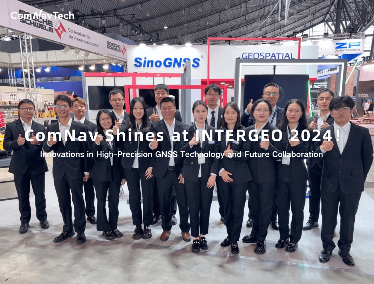

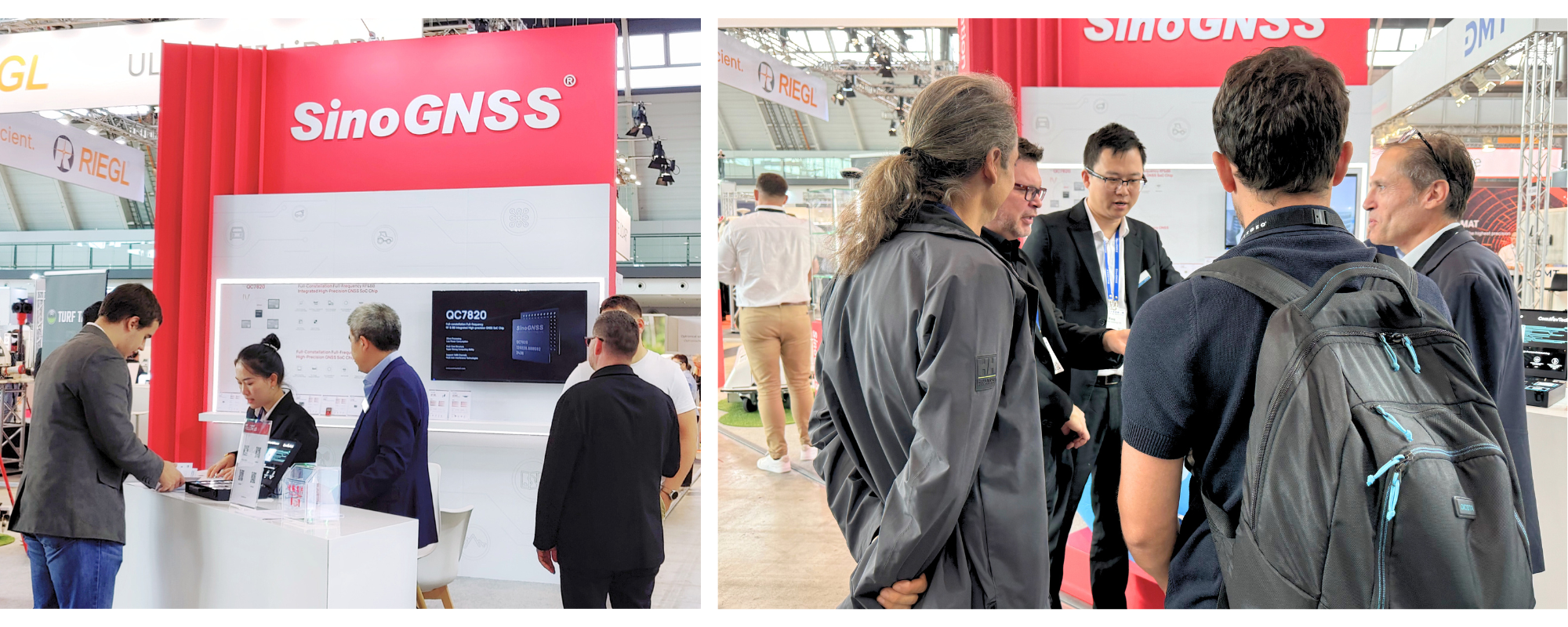
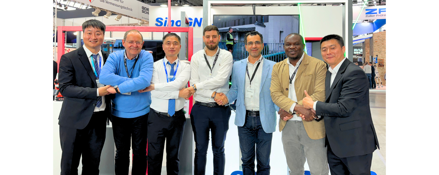
Shanghai, China, September 24-26, 2024 — INTERGEO 2024 was held in Stuttgart, Germany. As a leading global event for surveying, geoinformation, and land management, INTERGEO attracts experts, companies, and industry leaders from around the world. This event serves as a key platform for technological exchange, as well as an important opportunity to foster global collaboration in addressing significant challenges. At the exhibition, ComNav Technology Ltd. (ComNav) showcased a range of innovative products and solutions.
Key Product Highlights
ComNav brought its popular K8 series boards to the forefront at the exhibition. These boards utilize the Quantum-III chip, a self-developed high-precision GNSS positioning SoC that supports full-constellation and multi-frequency tracking. Equipped with advanced features such as wideband signal reception technology and narrowband anti-interference technology, they achieve high performance in interference resistance while maintaining low power consumption. This enables reliable RTK technology in challenging environments. With over 800,000 units sold globally, they have earned widespread recognition from users in a variety of applications, such as intelligent driving, UAVs, robotics, surveying & mapping, CORS, and IoT.


Applications of the K8 series boards in robotic mowers and field robotics high precision solutions were also showcased on-site. These demonstrations showcased the extensive use of the K8 series boards in precision navigation and automation, attracting considerable attention from participants. Many expressed great interest and curiosity about how high-precision technology can enhance convenience in everyday life.

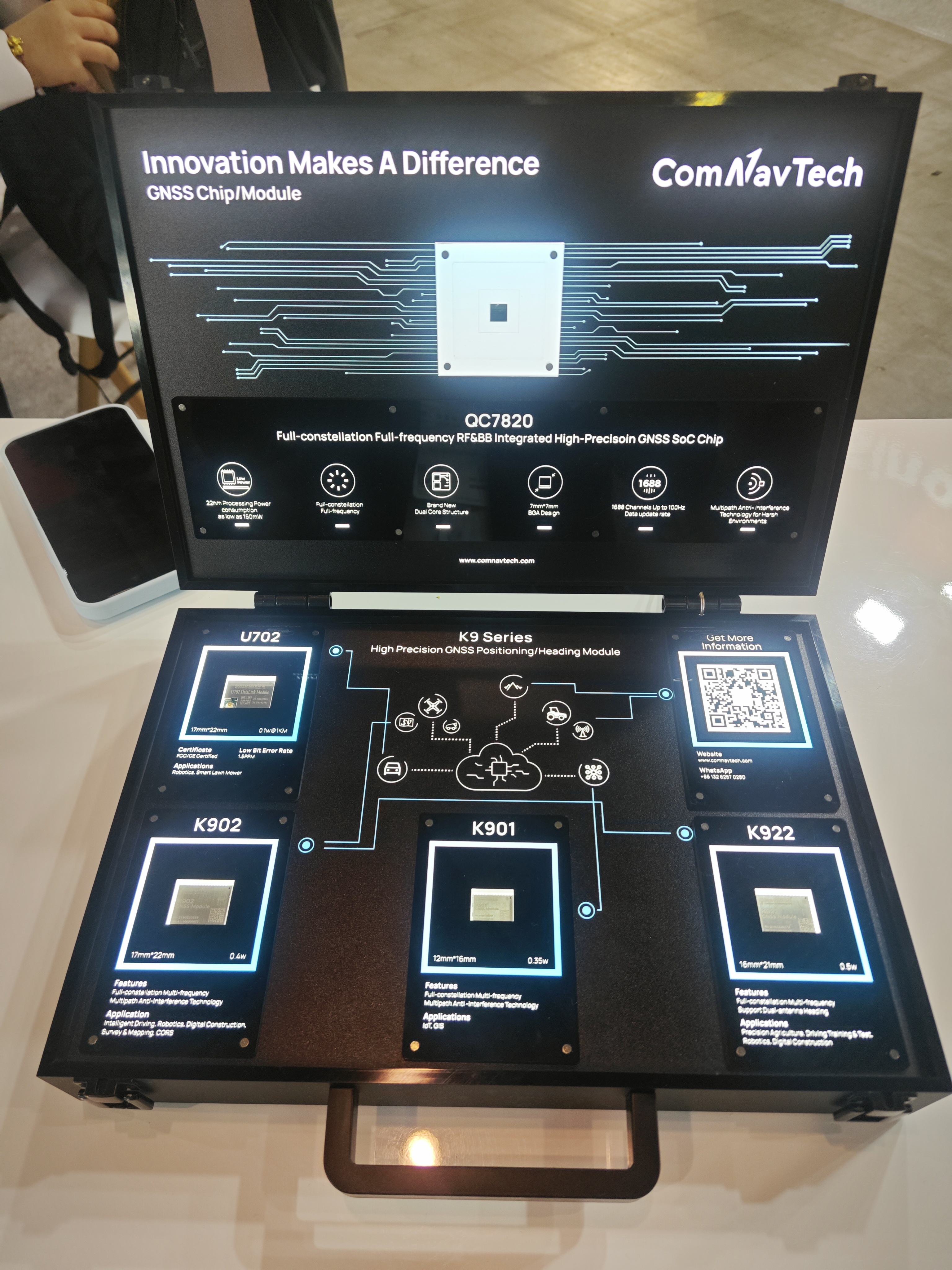
At the same time, the yet-to-be-released QC7820 chip and K9 series boards were presented at the booth. These cutting-edge innovations are expected to bring notable improvements in the performance of GNSS applications.
Among the many innovations showcased at the exhibition, the Jupiter Laser RTK, pre-launched by ComNav at the exhibition, quickly became a focal point for participants. This high-end Laser RTK integrates advanced GNSS, IMU, laser, and dual-camera technologies. Building on the advanced laser technology of the Universe series, its precise green laser remains visible even in daylight, enabling accurate measurements in locations where a range pole cannot be used. The up to 50m laser range further extend the measurement range, while the accuracy is further secured. Additionally, it incorporates visual technology, providing an immersive surveying and stakeout experience, particularly suitable for hard-to-reach, signal-blocked, or dangerous sites.
The integration of laser technology into traditional GNSS receivers is an innovative design by ComNav, which has already been fully applied and validated in the released Universe series receivers: The Mars Pro Laser RTK, built on innovative laser technology, includes a sunlight-readable OLED color display for easy operations. Mars Laser RTK boasts over 20 hours of ultra-long battery life and enhanced UHF integration, supporting operational ranges of up to 15 kilometers. The Venus Laser RTK, with its lightweight design and the advantage of rodless operation, simplifies the surveying and stakeout while providing exceptional stability and accuracy, significantly enhancing user safety.
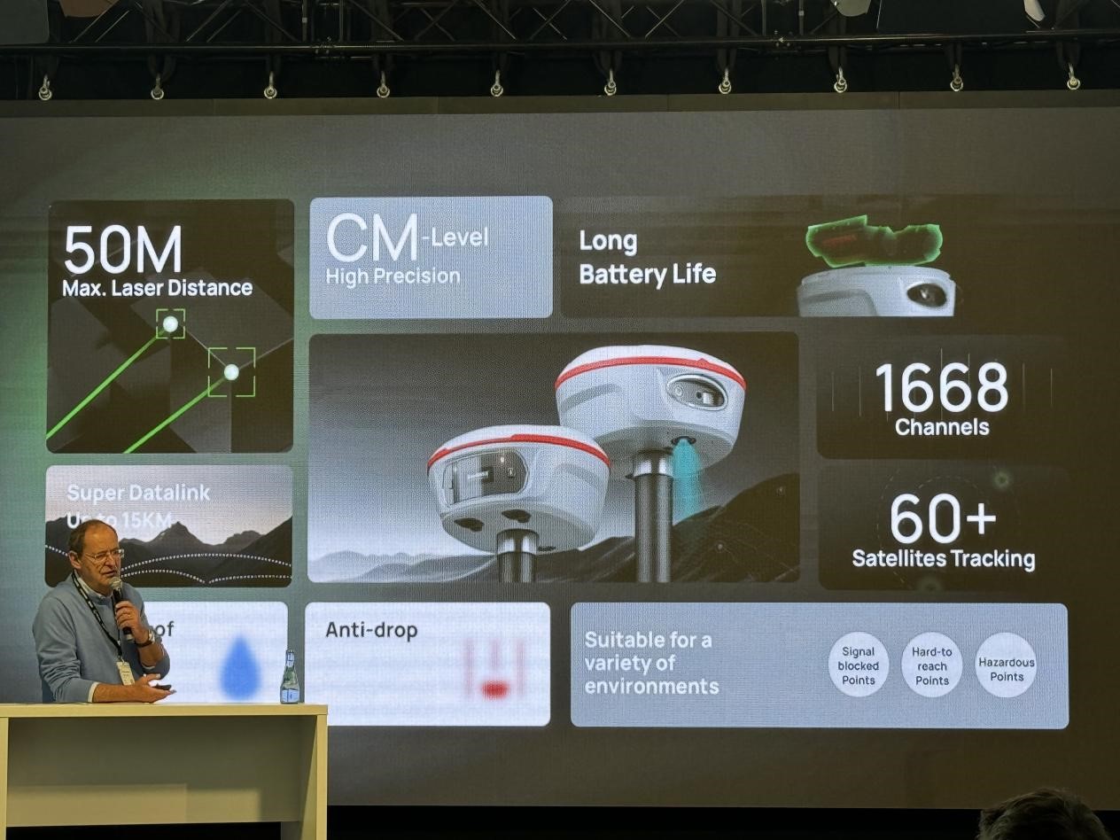
Introducing Jupiter Laser RTK by Professor Joel van Cranenbroeck in the INTERGEO main stage
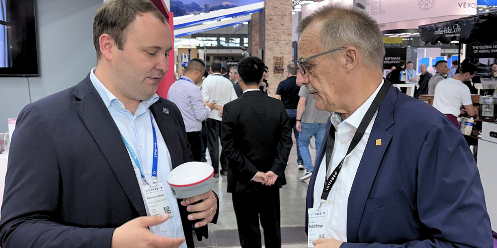
Introducing JUPITER Laser RTK to the President of INTERGEO Rudolf Staiger by GM of ComNav Technonology Europe Srl. Nicolas van Cranenbroeck
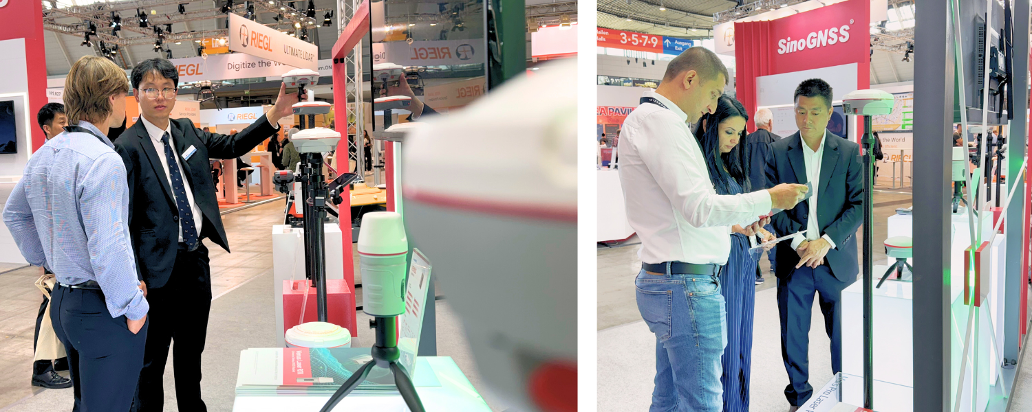
The Universe series, especially Jupiter, garnered significant attention. During the on-site demonstrations, participants had the opportunity to experience firsthand the convenience offered by the integration of laser and visual technologies.

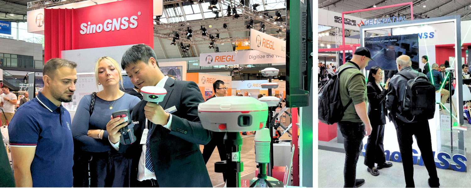
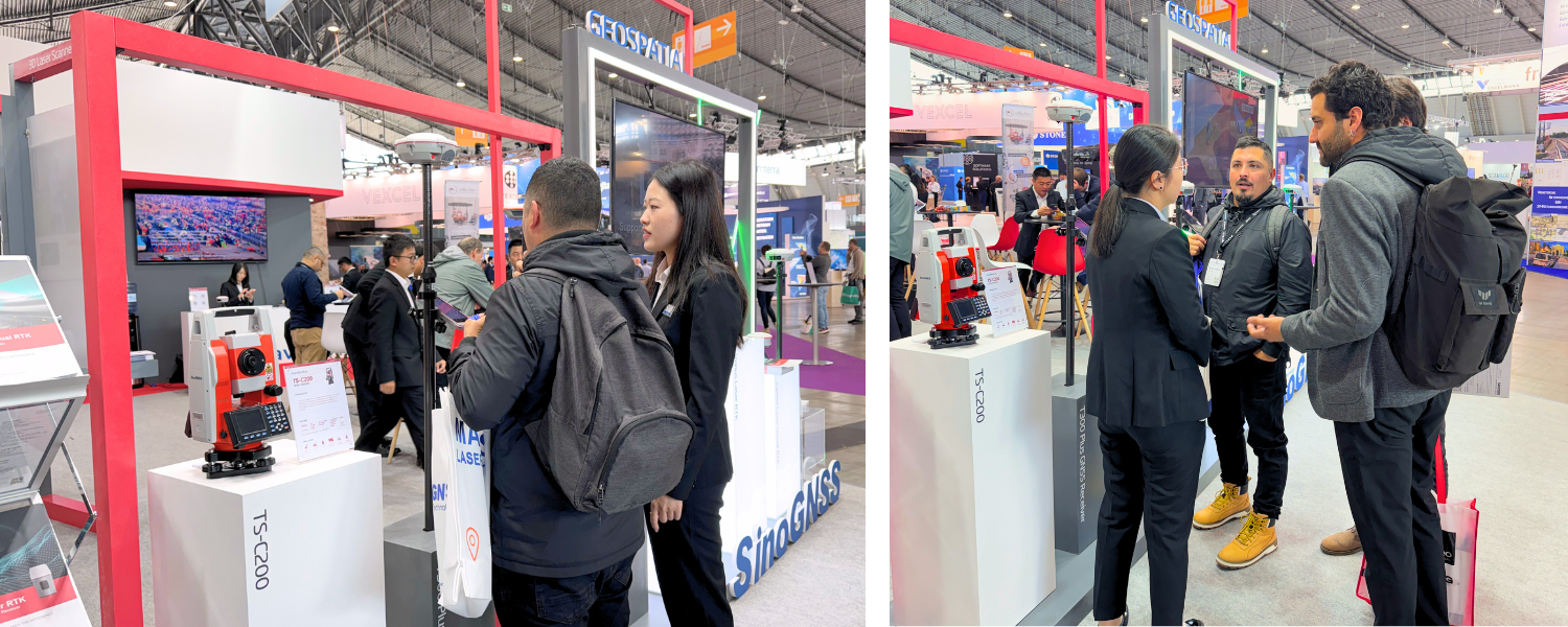
In the geospatial field, ComNav showcased its classic T300 Plus, N2, and N3 receivers, along with the TS-C200 total station.
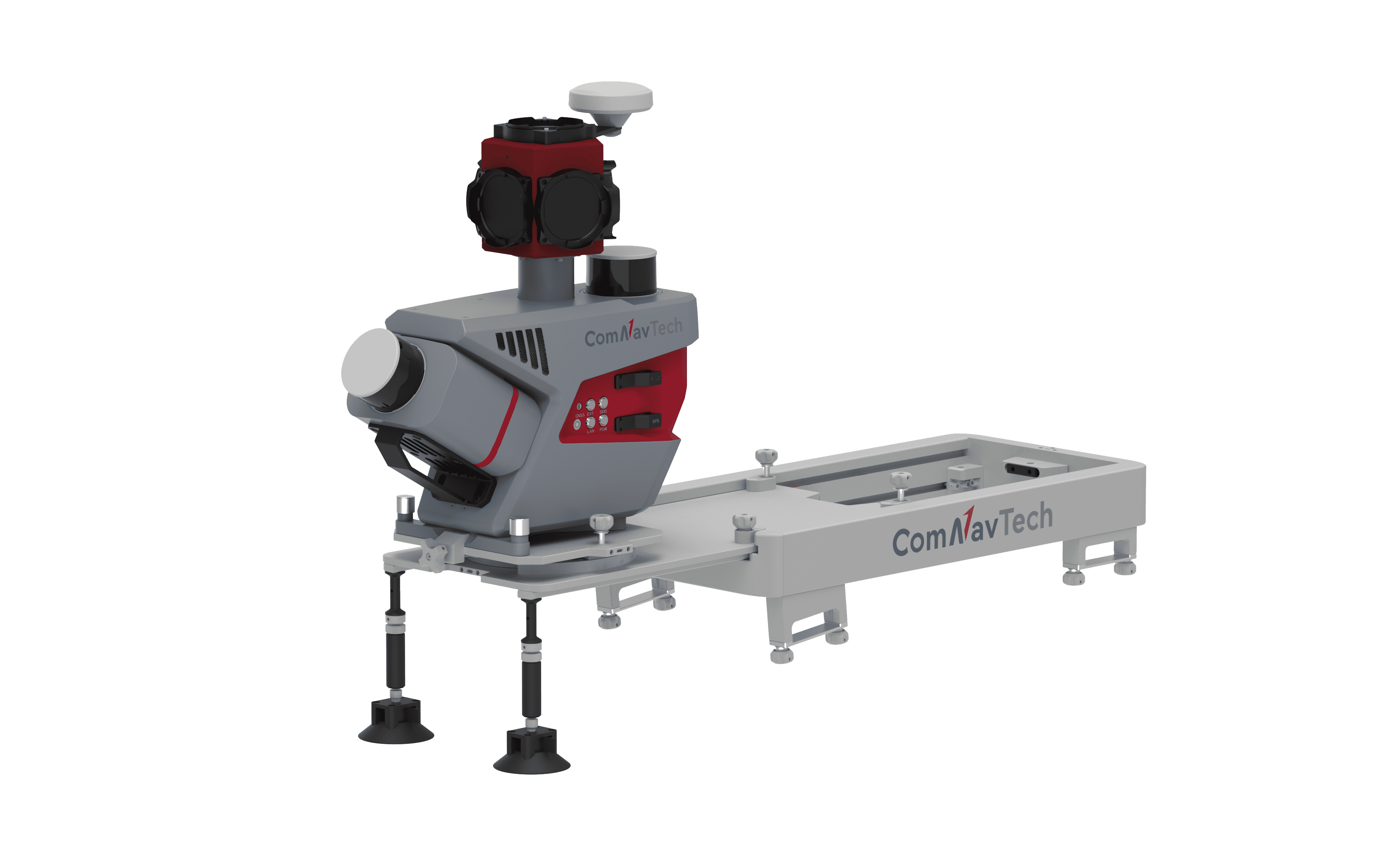
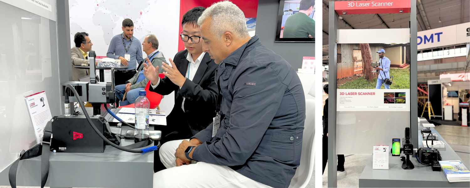
Meanwhile, participants showed strong enthusiasm for the LS300 Laser Scanner, which utilizes SLAM technology and performs self positioning and incremental 3D mapping in unknown environments, including indoors and outdoors. It’s ideal for smart city projects, underground facility digitization, geology, agriculture, forestry, and surveying applications.
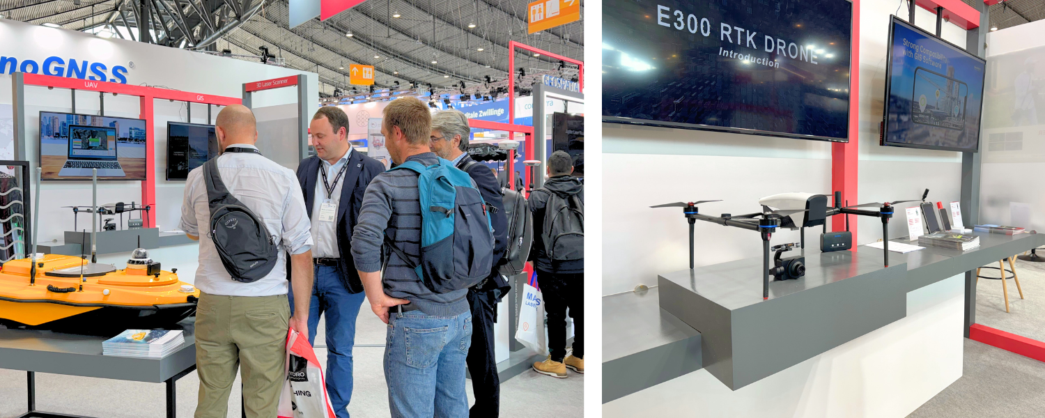
For unmanned survey, ComNav displayed the E300 RTK drone and the SV600 unmanned surface vessel, designed for environmental monitoring, surveying, and data collection. The E300, equipped with professional payloads, offers easy operation, high precision, and long-range capabilities. The SV600 is specifically engineered for hydrographic surveys, featuring automatic obstacle avoidance and high load capacity for various hydrological equipment.
In various industry sectors, ComNav demonstrated tailored solutions.
For People Location
ComNav introduced the portable GNSS receiver Z30, designed with a compact structure, integrated 4G module, Bluetooth capability, and a 5000mAh battery for easy portability and installation. Coupled with the NaviCloud platform, users can achieve real-time tracking, historical trajectory inquiries, and one-click alarm functions, greatly enhancing personal safety management's intelligence.
For CORS Solutions
ComNav showcased the solution with M300 Pro receiver. ComNav's CORS solution has gained widespread application globally, with over 6,000 CORS stations around the world demonstrating the long-term reliability of this solution.
For GIS Solutions
ComNav exhibited the P8H and P6H tablets. Integrated high precision GNSS module and antenna into tablet, P8Ha lives up to the slogan: one device, two choices. It can be used for both RTK and GIS applications. And P6H is tailored for GIS, tracks all running and planned constellations. Its accuracy remains at centimeter (RTK) or decimeter (PPP) level. Its portability and durability make it reliable even in harsh conditions.
For Monitoring Solutions
ComNav introduced the A300 receiver, achieving millimeter-level positioning accuracy. ComNav’s GNSS-based monitoring solution is extensively utilized in various fields, including landslide geological hazard monitoring, dam deformation monitoring, mining area surface subsidence monitoring, tailings reservoir deformation monitoring, bridge deformation monitoring, and high-rise building deformation monitoring.
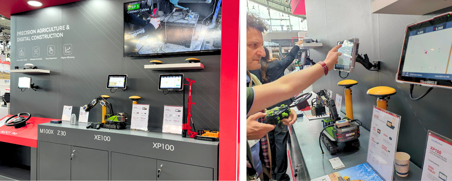
For Precision Agriculture
The AG501 Pro GNSS autosteer system is showcased. With one smart antenna A100 Pro, it combines the advantages of convenient installation, high torque, precision, and terrain compensation, achieving ±2.5 cm accuracy in sowing, transplanting, trenching, ridging, spraying, and harvesting. It minimizes the risk of interruptions and accuracy drops during agricultural operations, making it especially valuable for long-duration tasks in adverse weather or complex terrains, offering farmers a practical, efficient, and cost-effective solution.
For Digital Construction
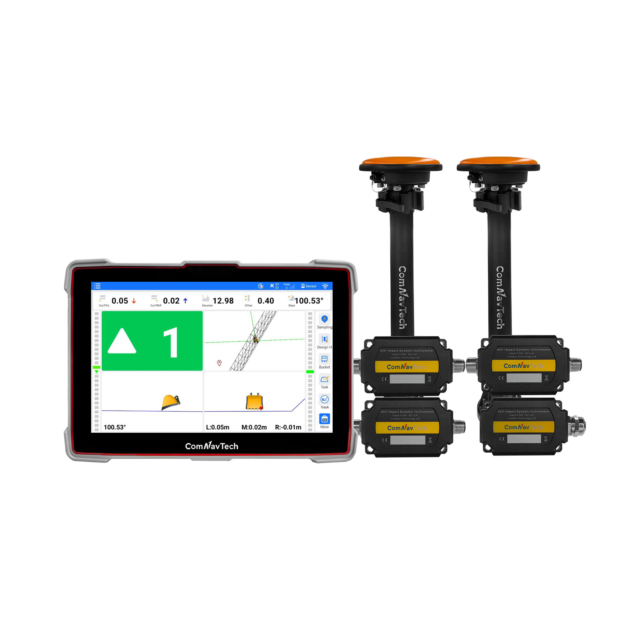
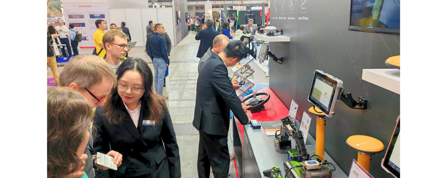
ComNav demonstrated the XE100 Guidance System for Excavators and the XP100 Professional Positioning Solution for High-Accuracy Piling. The XE100 Guidance System features high-precision GNSS positioning and inertial sensors, providing centimeter-level accuracy for tasks such as leveling, slope cutting, and digging. The XP100 Professional Positioning Solution is specifically designed for static pressure pile projects, delivering centimeter-level positioning accuracy for various construction applications. Both systems are easy to operate and highly reliable. Compared to traditional leveling methods, these solutions significantly enhance field productivity and reduce rework rates.
Participants not only explored the high precision solutions and listened to presentations about the latest technologies, but also engaged in interactive games that enhanced their understanding and interest in the products.
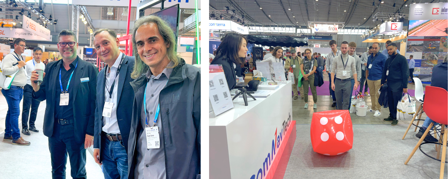
Additionally, during the exhibition, the annual dealer conference was held successfully. This event provided an excellent opportunity to explore our latest products and technologies, along with live demonstrations. It was a fantastic platform for our dealers to share experiences and insights. We look forward to welcoming more outstanding partners into our family!


Future Prospects and Collaboration Opportunities
By participating in INTERGEO 2024, ComNav aims to strengthen partnerships, explore emerging industry trends, and pave the way for a more precise future. The exhibition showcased ComNav's high precision technological capabilities and innovative products. ComNav look forward to see everyone again at INTERGEO 2025 in Frankfurt!