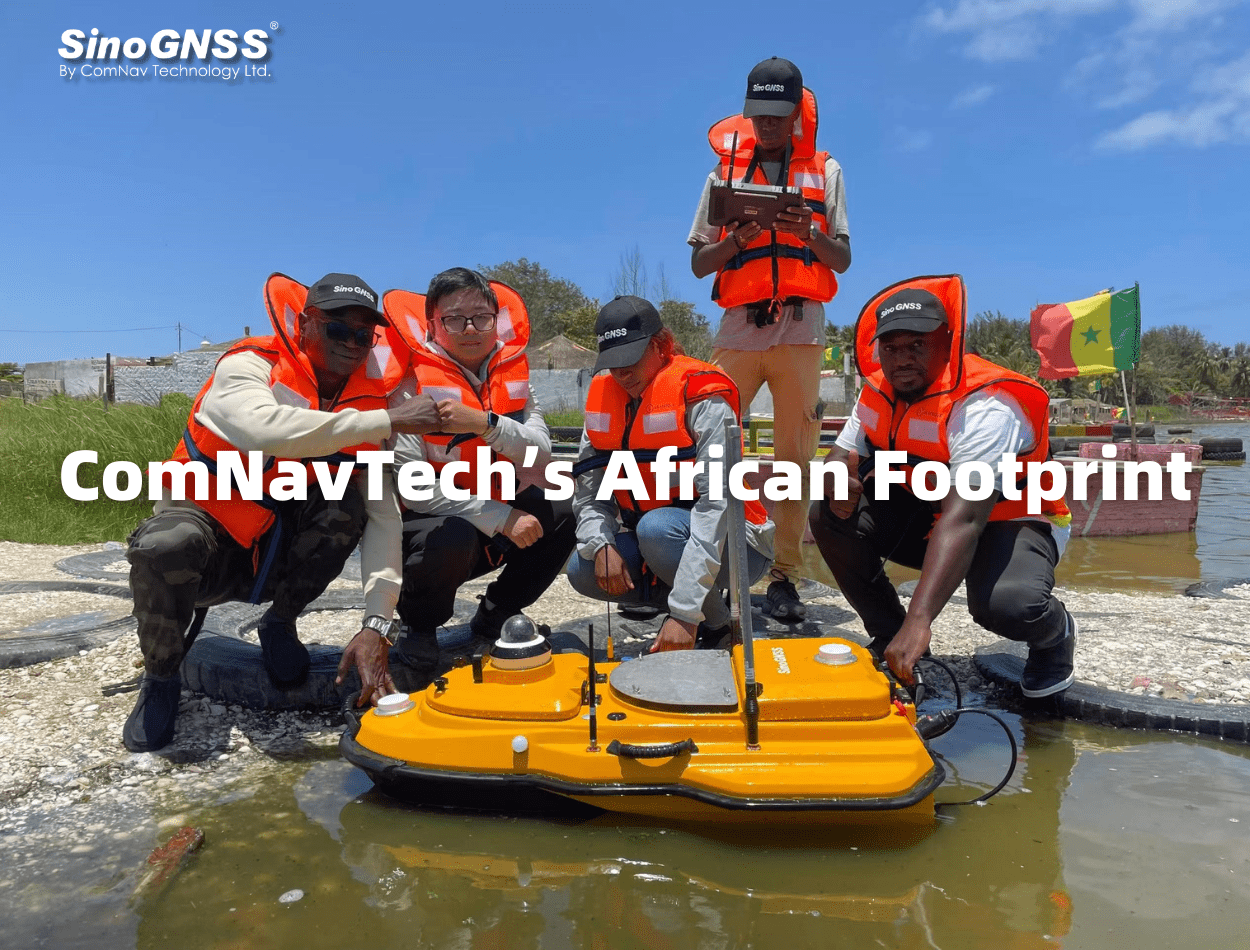

ComNavTech’s African Footprint
From September 4 to 6, the 2024 Summit of the Forum on China-Africa Cooperation was grandly held in Beijing. Since President Xi Jinping proposed the "true sincerity" policy towards Africa in 2013, under the strategic guidance of high-level diplomatic exchanges, China-Africa cooperation has yielded substantial results, glowing vitality and emerging positive trends.
As one of Chinese GNSS technology companies that went abroad in the early time, ComNav Technology Ltd. (ComNavTech) has been in the African market for 10 years. With its innovative high-precision positioning technology and high-quality products, ComNavTech has promoted win-win cooperation, and built comprehensive sales networks and a complete after-sales service system. ComNavTech has contributed to the construction and maintenance of railways, highways, ground-based enhancement networks, and hospitals across African nations, becoming a significant participant and contributor to Africa's economic development, leaving a solid footprint across the continent.
 01 Establishment of CORS Network
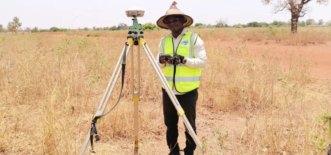
Covering Uganda and Kenya
Since 2015, ComNavTech’s GNSS high-precision receivers have entered the African market. Their reliable and stable performance has earned the trust of African customers. The CORS network covering the main land of Uganda and Kenya has been completed.
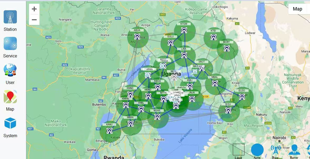
CORS Network in Uganda
In addition, SinoGNSS high-precision receivers have been applied in CORS construction projects in over 30 African countries, including Nigeria, Tunisia, Senegal, Cameroon, and Djibouti. The high-precision location services provided not only meet the needs of land surveying, water conservancy, transportation, agriculture, and forestry but also extend to mining, fleet management, monitoring, and so on.


Surveying and mapping project in East Africa
02 Hospital Construction
Burkina Faso
In 2021, as the pandemic worsened in Africa, Burkina Faso’s healthcare infrastructure faced immense pressure. The Burkina Faso government employed GNSS technology to speed up the construction of a production base for medicines against infectious diseases, including COVID-19 in April. Because traditional optical instruments couldn’t complete measurements in such a short time. SinoGNSS T300 and T300 Plus GNSS receivers helped with the land security and topographic surveying task to be completed within only 6 days, saving at least half time than scheduled.
The Secretary-General of Burkina Faso’s National Survey Association, Bamni, praised the efficiency of GNSS terminals, which saved valuable time in pandemic prevention and control.

SinoGNSS Receivers applied in the hospital construction
03 Port and Dock Construction
Nigeria
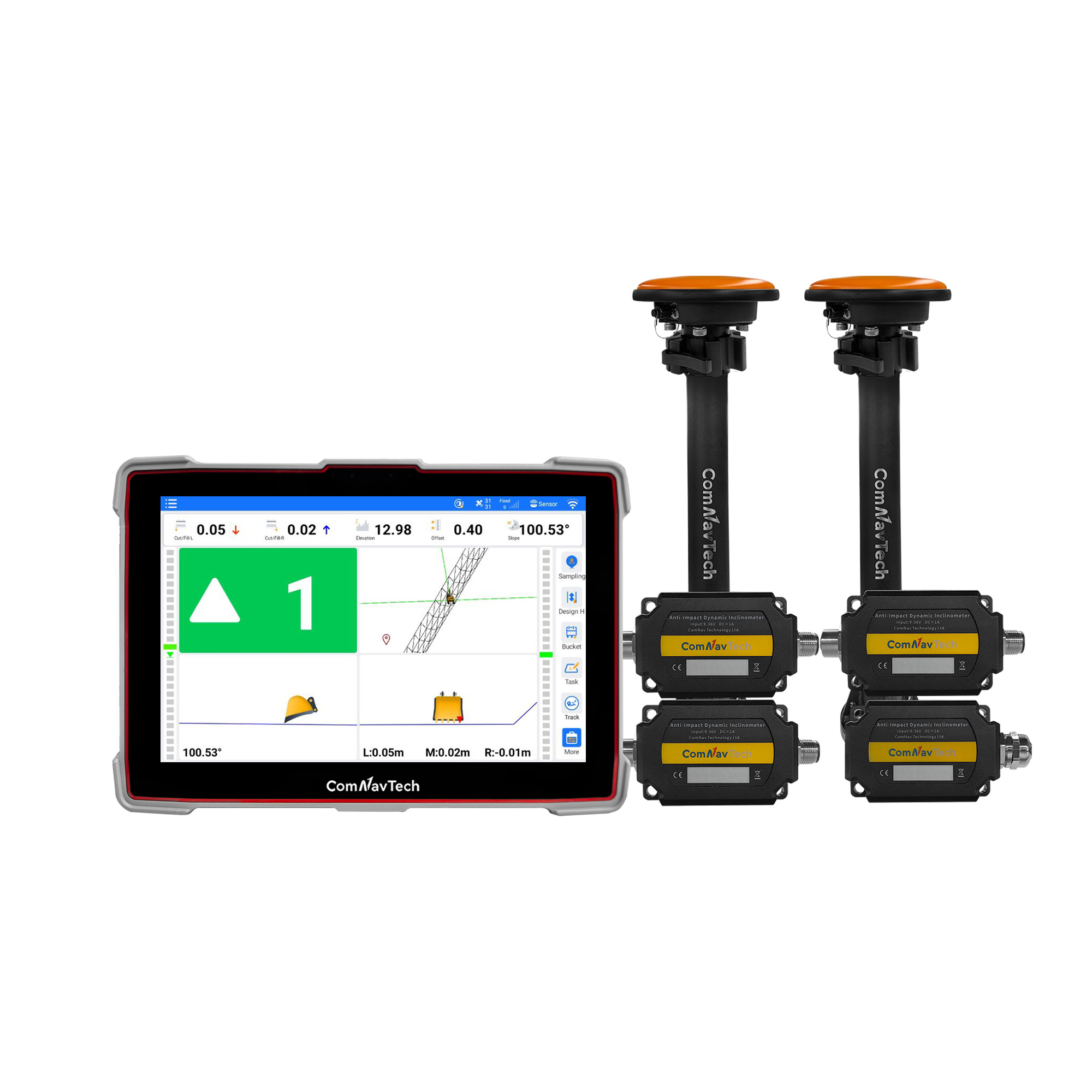
In March 2024, the marine surveying project of dock construction in the port Harcourt, Nigeria, officially started. In this dock reconstruction project, SinoGNSS N3 IMU GNSS receivers played a crucial role and conducted accurately surveying of the seabed terrain in the port and surrounding waters, providing important technical support. The N3 supports full-constellation and multi-frequency signal tracking. With IP67 protection, it is suitable for various harsh environments, offering a new technological approach for fast, efficient, and precise marine surveying. The reliable product performance and excellent quality have earned unanimous praise from users.
 |  |
N3 Receivers applied in the marine surveying project
04 Urban Construction Survey
New Giza City, Egypt
In October 2023, the construction project for Egypt’s New Giza City is progressing rapidly. Using SinoGNSS N3 GNSS receivers, it greatly improved fieldwork efficiency and was highly praised by local users.
The N3 is developed based on self-developed ASIC chips, supports full-constellation multi-frequency signal tracking and 120° tilt compensation, significantly enhancing accuracy, reliability, and functionality.

Surveying in the New Giza City construction project
05 Highway Construction Project
Senegal
In 2024, ComNavTech’s high-precision receivers and E300 RTK drones were used in the surveying project for the Dakar Saint-Louis highway construction in Senegal. The N3 with its high performance provided a reliable solution for the project, meeting high precision requirements and ensuring operational safety. Based on K8 platform, E300 unmanned aerial mapping solution is capable for photo position at centimeter level, providing high-precision results for local users.

N3 GNSS receiver and E300 RTK drone applied in highway construction in Senegal
06 Building Information Collection
Cameroon
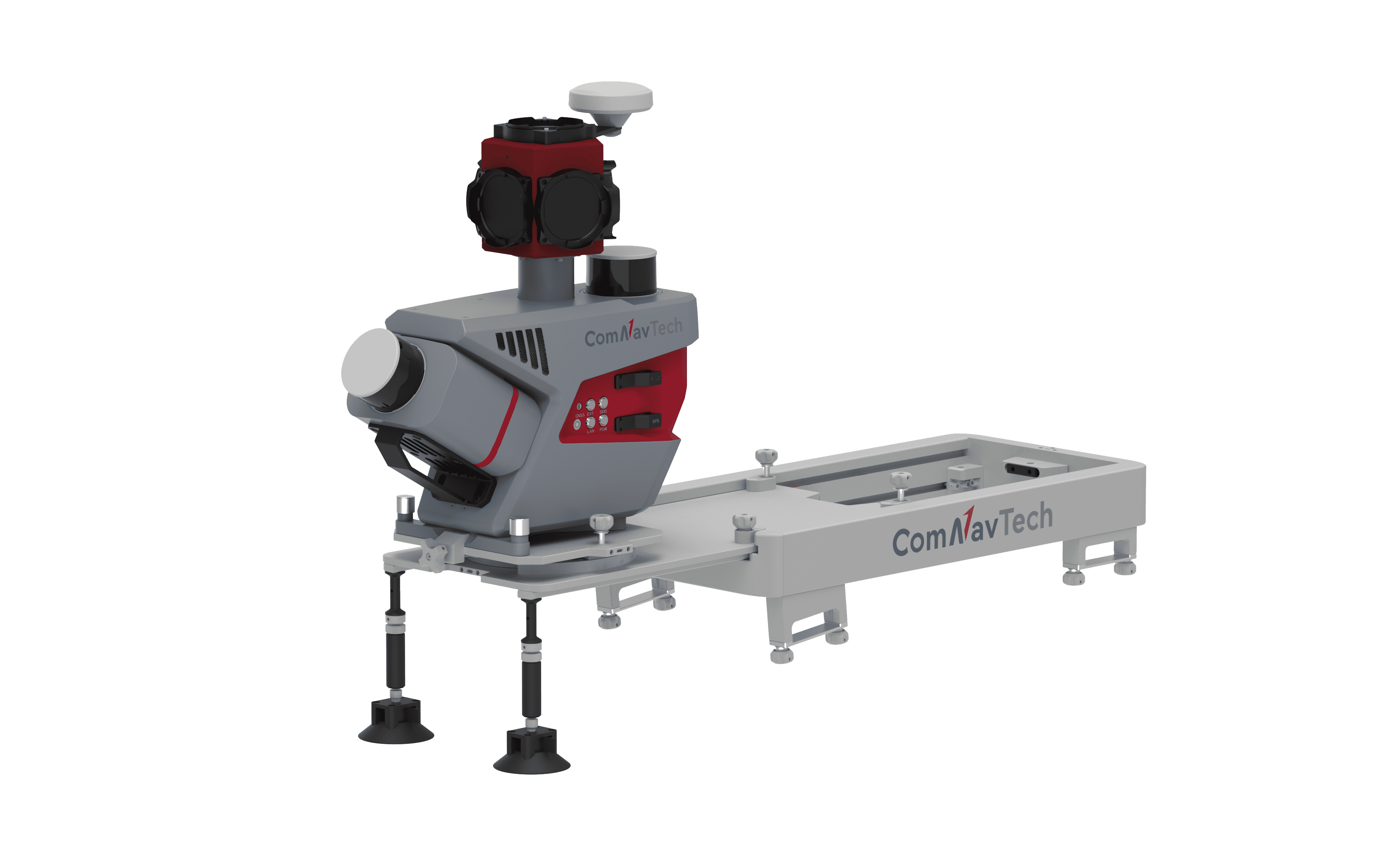
ComNavTech’s LS300 3D laser scanner employs SLAM technology, enabling real-time positioning and mapping without relying on GNSS signal. In Cameroon, with the active promotion of local partners, LS300 has been widely used in various industries, including volume measurement, building information collection, underground engineering digitalization, agricultural growth monitoring, forestry green volume assessment, surveying and mapping. The device’s efficient performance and broad applicability have significantly enhanced measurement and data collection capabilities across fields.

LS300 Products Promotion in Cameroon
07 Hydrographic Surveying
Senegal
The SV600 unmanned surface vessel, equipped with ComNavTech’s chip and a single-beam echo sounder, is compact and lightweight. It quickly gets the data, like flow rate, depth and coordinates, significantly enhancing the efficiency and accuracy of underwater measurement.
ComNavTech introduced the SV600 to Senegal, providing on-site technical training to ensure local technicians could proficiently operate and maintain the equipment. The SV600 is now in use for underwater terrain and hydrological measurements in Senegal’s rivers, waterways, reservoirs, and ports.
This advanced technology not only improves measurement precision but also provides strong technical support for local water management and infrastructure development in Senegal.
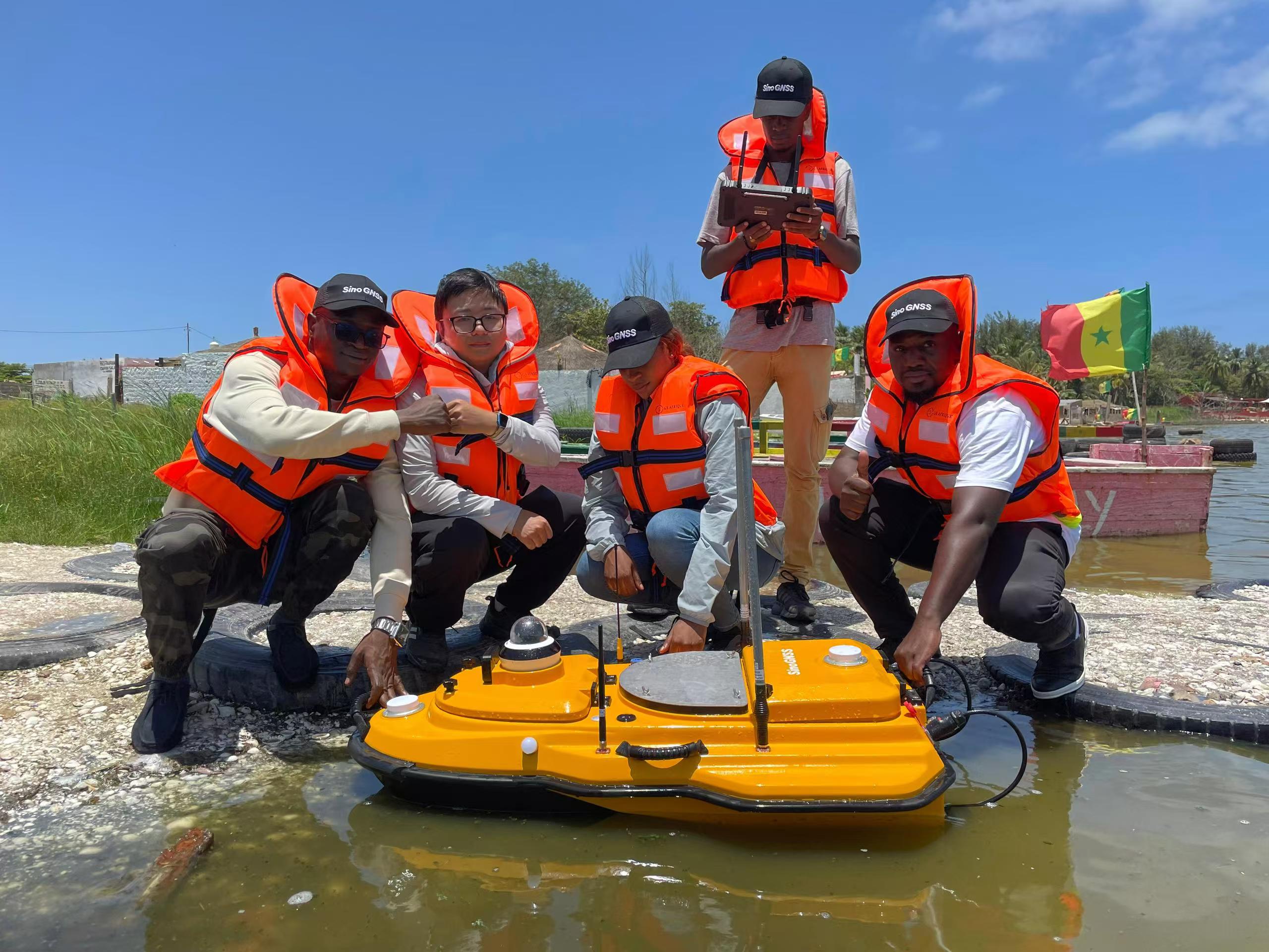 ComNavTech provided on-site training
In the past 10 years, ComNavTech’s footprint has extended from the Maghreb region in the North Africa to the Cape of Good Hope in the South Africa, from the Horn of Africa to Senegal in West Africa. SinoGNSS high precision products and solutions have been successfully applied across African countries. To help users better master its operation, ComNavTech’s technical support team have provided after-sales support and all kinds of technical training. The efficiency, precision, and convenience of high-precision equipment compared to traditional methods have led to increased benefits and reduced costs, earning full recognition from local governments and users.
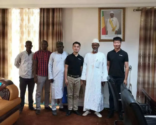
ComNavTech team with the leaders of African countries

The showcase of SinoGNSS innovative product - Laser RTK in Africa
Since the Belt and Road Initiative was proposed, Africa has become one of the most active regions in the cooperation. China-Africa cooperation has once again become a global focus. ComNavTech, with its innovative technology and profound social responsibility, builds a bridge of friendship between China and Africa, promoting the development of land surveying, CORS construction, urban development, and railways. ComNavTech will continue to deepen its involvement in the GNSS field, driving sustainable development in Africa with new technology.
About ComNav Technology
ComNav Technology develops and manufactures GNSS OEM boards and receivers for high precision positioning demanded applications. Its technology already been used in a wide range of applications such as surveying, construction, machine control, agriculture, intelligent transportation, precise timing, deformation monitoring, unmanned system. With a team dedicated for the GNSS technology, ComNav Technology is trying its best to supply reliable and competitive products to worldwide customers. ComNav Technology has been listed on the Shanghai Stock Exchange (Science and Technology Board), securities :ComNav Technology (Compass Navigation), Stock code: 688592.
About SinoGNSS®
SinoGNSS® is the official trademark of ComNav Technology Ltd., registered in People's Republic of China, EU, USA and Canada. All other trademarks are the property of their respective owners.
About ComNavTech®
ComNavTech® is the official trademark of ComNav Technology Ltd., registered in People's Republic of China, EU, USA and Canada. All other trademarks are the property of their respective owners.