Introduction
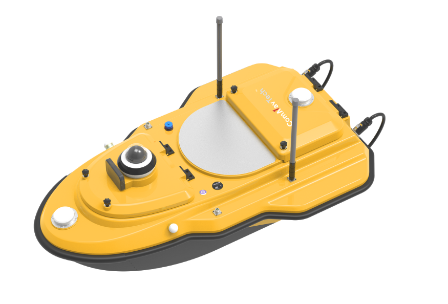
The SV600 is an advanced Unmanned Surface Vessel (USV) specifically engineered for hydrographic surveys. Offering remote control capabilities, it seamlessly integrates adaptive water flow straight-line and hovering technology for enhanced efficiency. Equipped with a dual-moon pool design, this vessel facilitates the simultaneous deployment of multiple payloads. From Acoustic Doppler Current Profilers (ADCP) to single-beam echo sounders (SBES), side-scan sonars, pipeline detectors, and compact multi-beam echo sounders, the SV600 enables versatile surveying capabilities. Thanks to its rapid installation feature, transitioning between missions is effortless, allowing for seamless switching between various modes of measurement operations.
Features
-
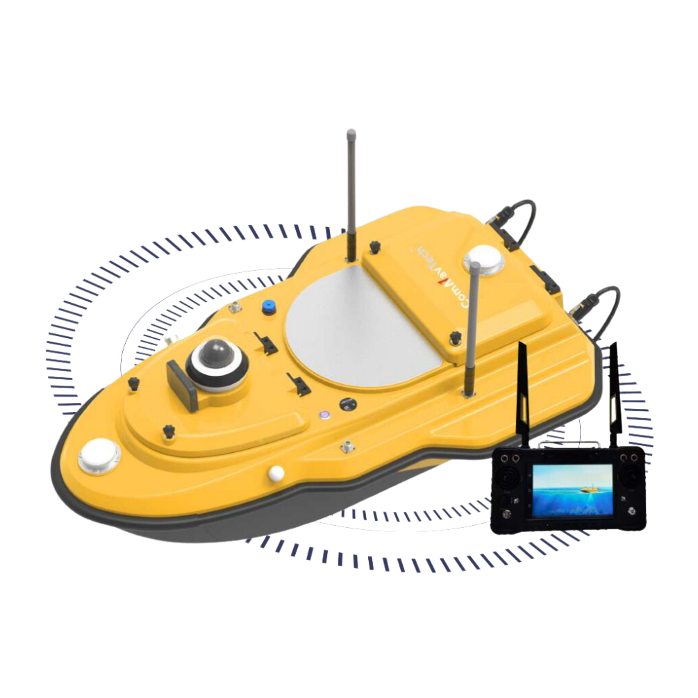
 Vessel Battery StatusChecking the battery status of the vessel is as easy as pressing button, eliminating the need to open the remote controller or access the cabin.
 -
 Integrate GNSS AntennaEquipped with a highly integrated GNSS antenna, the vessel provides precise and reliable positioning by tracking full satellite constellations. With an integrated IMU, ensuring continuous availability of position data even in challenging environments.
 -
 Integrated Master Control DesignThe master control of the SV600 is highly integrated, effectively minimizing the complexity of cables within the vessel's cabin.
 -
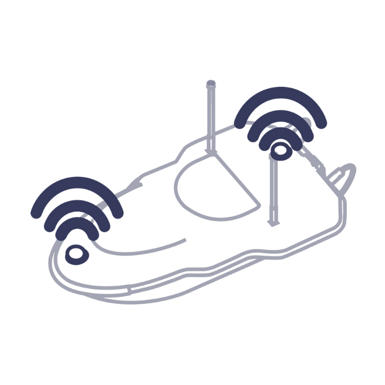
 Obstacle Avoidance Radar SystemWith its advanced radar technology, the obstacle avoidance radar system ensures safe operations by detecting obstacles and providing timely alerts to users, allowing for quick and effective navigation even in low-visibility conditions.
 -
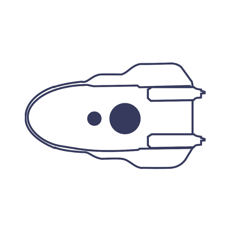 Dual Moon PoolWith the capacity to carry payloads of up to 42kg, the dual-moon pool design provides ample space and strength to accommodate various scanning devices, offering versatility in hydrographic surveying.
 -
 360° Live VideoWith 360° real-time video technology, you can immerse yourself in the environment, enhancing navigation safety.
 -
 Quick InstallationThanks to its rapid installation feature, transitioning between missions is effortless, allowing for seamless switching between various modes of measurement operations
 -
 IP67 Dustproof & WaterproofThe vessel is built to IP67 standards, providing excellent protection against dust and water ingress.
Software