Mapping and Geospatial
ComNav offers a variety of solutions for Mapping and Geospatial solutions, including tablets, UAV, and 3D laser scanner, aiming to make work more precise and efficient.
Machine Control
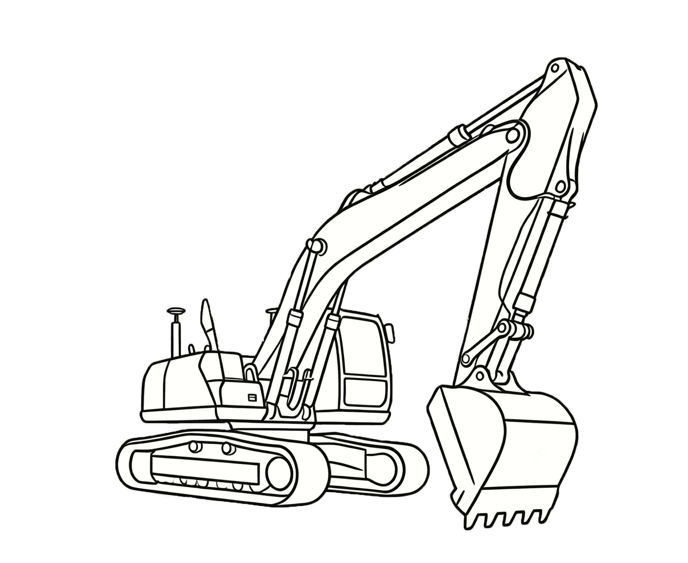
ComNav's GNSS Machine Control Solutions integrates high precision, ensuring efficient management of construction equipment and personnel. Its advantages include improved construction efficiency, reduced human errors, and enhanced overall site safety.
Monitoring
The GNSS-based monitoring solution is extensively utilized in various fields, including landslide geological hazard monitoring, dam deformation monitoring, mining area surface subsidence monitoring, tailings reservoir deformation monitoring, bridge deformation monitoring, and high-rise building deformation monitoring, as well as other areas with potential safety hazards.
PNT Infrastructure
Build the foundation for reliable, scalable, and intelligent PNT services, enabling seamless deployment, management, and operation across diverse industry applications.
Precision Agriculture
ComNav make farming more precise and easier. With higher precision, customers are able to use their resources more wisely while producing a safer, higher and more reliable yield in a profitable and environmentally sustainable manner.
Integrated Solution
ComNav's integrated solution combines advanced OEM boards and high-performance antennas, integrating multiple technologies to optimize performance and reliability across various applications, ensuring maximum efficiency in diverse environments.
People Location
ComNav Technology Ltd. offers high-precision people location solutions, ensuring reliable tracking and management of personnel in various applications, enhancing safety and efficiency.